Creating a “15-minute city”: Will Melbourne be able to bring its communities closer?
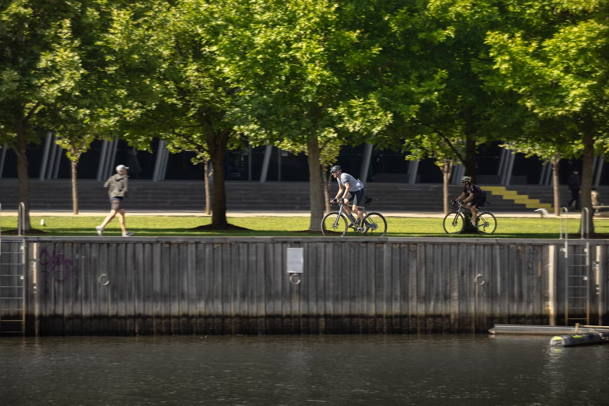
It’s the year 2050 and Melbourne is waking up to another day of life on Earth. In the past decades, the cityscape has seen many improvements. Bikeways are broad and well-connected, parks are lush and nearby, and supporting your locals is easier than ever. With all the essentials accessible by foot or bike, urban life is inclusive and efficient. That’s the plan, at least. The Melbourne Plan.
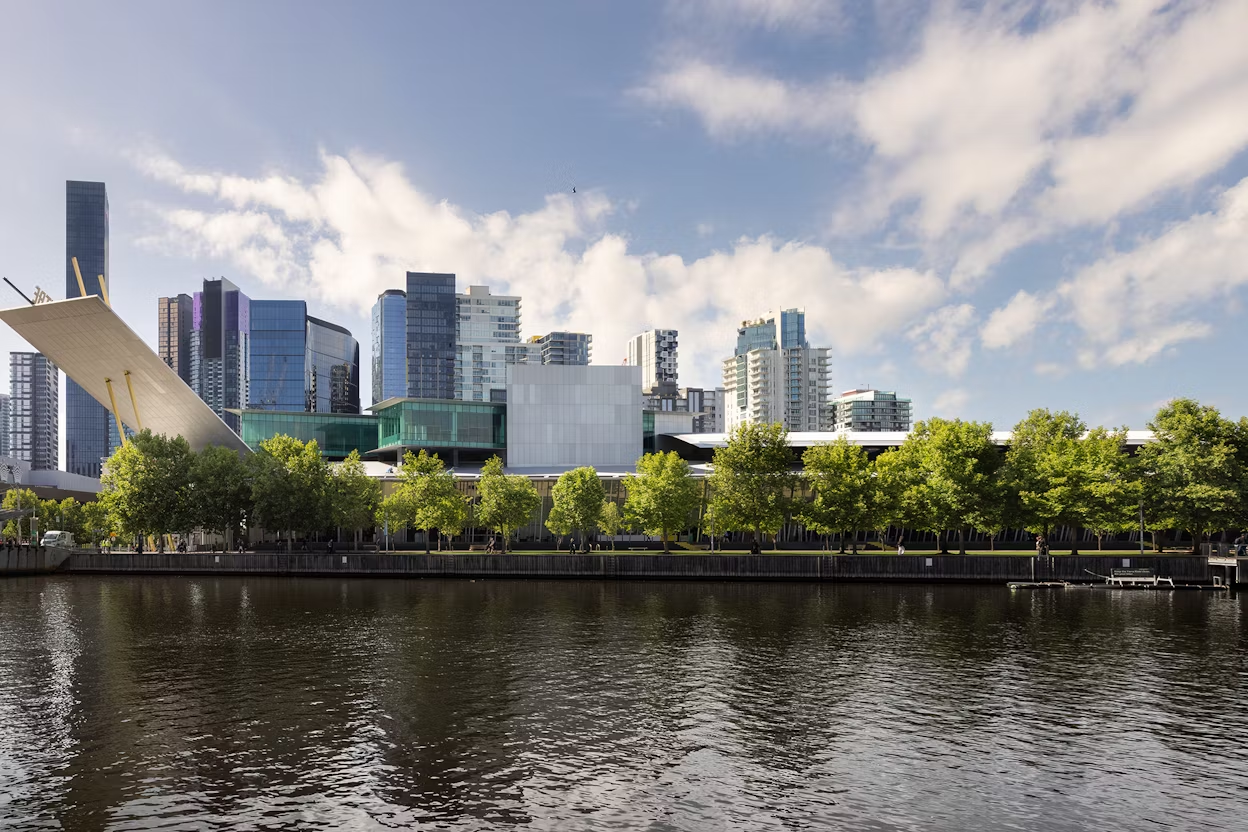
A few years back, the state government of Victoria initiated what they’ve dubbed Plan Melbourne 2017-2050, which is the government’s vision for how the city will develop over the next 35 years to maintain and expand its legacy as a sustainable and thriving global city.
The development strategy is guided by a popular urban planning concept known as “15-minute cities”, made famous by Parisian professor Carlos Moreno, which is in turn inspired by an early planning theory on “20-minute neighbourhoods.”
Although the wording and numbers of minutes may differ, both concepts place people and their needs at their core. Following this principle, the plan is that by 2050 Melbourne’s neighbourhoods will be inclusive, vibrant, and sustainable.
What is a 15-minute city?
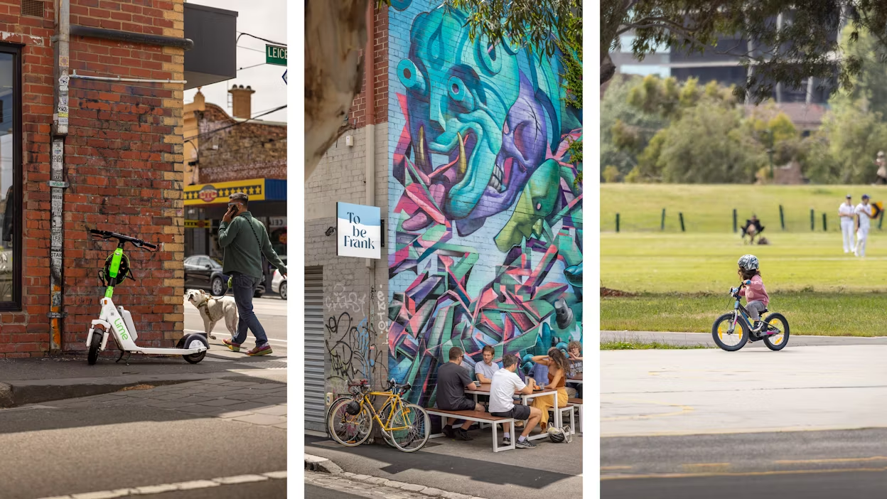
15-minute cities put people at the centre of urban transformation. The idea is that everyone in a city should have access to the services they need to live, learn, and thrive within a 15-minute walk or bike ride from their home. This includes work, shops, education, healthcare, and entertainment.
Originating from the Sorbonne University, the 15-minute city concept has gained worldwide traction in recent years. But the essence of this concept might not strike everyone as news. Because it isn’t. The idea of a 15-minute city is a revamp of long-standing principles of a thriving, self-sufficient neighbourhood, that dates back to the 1920s.
At the beginning of the last century, urban planner Clarence Perry introduced the concept of a 20-minute neighbourhood to American society, which put people at the centre of urban development. Residential areas were to be based around the needs of its residents, with essential services accessible by foot.
Walkability was a key principle for Perry, whose concept was in part a reaction to the rise of automobiles and the way in which they had come to dictate the development of industrialising cities.
Beyond 15-minute cities, Perry’s concept laid the base for other urban planning concepts such as “New Urbanism” and has inspired planners the world over to develop cities that put people at their “centre”. Cities like Melbourne.
Big city, big population and big plans
Melbourne is Australia’s fastest-growing city, with an expected population growth of 2.9 million by 2051 (currently, Melbourne’s population sits at just under 4.9 million).
The Melbourne Plan was put in place to manage this growth trajectory by securing community infrastructure, housing, providing public transportation, and, more importantly, meeting the needs of a growing city. On top of this, city planners will need to account for the changing circumstances that come with being a coastal city in an era of climate change.
The expected population growth, paired with the changing circumstances that climate changes bring, required an organising principle for future proofing Melbourne. That principle is the 20-minute neighbourhood.

Melbourne by foot, not car
Marcus Dessewffy is the Project Manager for the team that is working to implement the 20-minute neighbourhood concept across Melbourne. And for Marcus and his team, travelling by foot is essential in creating sustainable and habitable neighbourhoods.
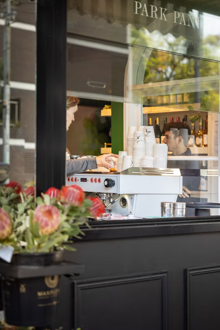
“For us, at the heart of 20-minute neighbourhoods is ‘walkability’ – the ability for people to meet most of their everyday needs within walking distance from home. This includes access to places like supermarkets, grocers, cafés, parks, libraries and schools,” he explains.
Why 20 minutes, some may wonder? Well, according to research this is the average distance that people are willing to walk to meet their daily needs. The 20-minute limit accounts for a round-trip going from one’s home to one of the service destinations and back again. In metric units, the journey represents an 800-metre walk each way.
Not only are having services at walking distance a good basis for social interaction and community-building, but it’s also emissions-free. Because the theory was developed as an alternative to a car-centred society, reduced car dependency is often put forward as one of the main benefits of this urban planning concept.
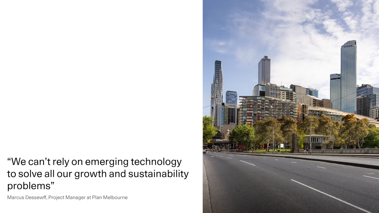
According to Marcus, emerging technologies, such as electric- and autonomous vehicles, hold promise in reducing emissions, but they may inadvertently perpetuate unsustainable patterns of urban sprawl and ever-increasing infrastructure requirements. Thus, he emphasises that "we can't rely on emerging technology to solve all our growth and sustainability problems, rather we need a land use mix and urban environment that prioritises walking.”
The challenge
The project is not without its challenges. Geographically, Melbourne is an enormous city with a large population, covering an area of almost 10,000 km2. Currently, walkability varies greatly between different parts of the city, depending on land use (residential, commercial, industrial, etc.) and street connectivity.
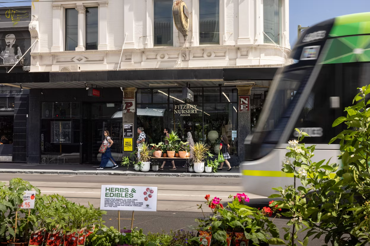
The inner parts of the city largely deliver the 20-minute neighbourhood, with a higher density of homes located within walking distance to essential amenities, while the middle and outer parts of Melbourne are generally low-density and more car-dependent.
Then there’s the fact that Melbourne is an established city, with infrastructure, roads, and industrial areas already in place. It's a challenge to retrofit established areas, Marcus explains, but the team is working to support local communities that haven’t received much investment to improve their connectivity with surrounding neighbourhoods.
Despite its challenges, Marcus is hopeful about the project. By 2050, he envisions Melbourne as a “true polycentric city, filled with distinctive and vibrant neighbourhoods, where you can choose to live and work close to where you live, but it’s also easy to travel around the city.”
Approaching year 2050
The year 2050 may still be a ways away, but large-scale developments take time. That’s why it’s important that cities start future-proofing urban areas sooner rather than later.
According to a recent United Nations report, two out of three people are likely to be living in cities or urban centres by 2050, further highlighting the need for sustainable urban planning.
Sustainability policies tend to be discussed, decided and associated at the international and national levels, but research suggests that regional actors will be essential in driving sustainable development of cities.
Antonio Bento, professor of Public Policy and Economics at University of Southern California (USC), explains on the USCs website that “if cities become the unit at which we do climate policy, we end up with comprehensive climate legislation even without national leadership.”
Clearly, creating a more sustainable future is no solo mission. It’s an all-hands-on-board situation. From promoting green businesses and nature-close habits to embracing cross-industry collaboration and fostering innovation, it’s all part of the plan. The plan for a better future.


01/04
