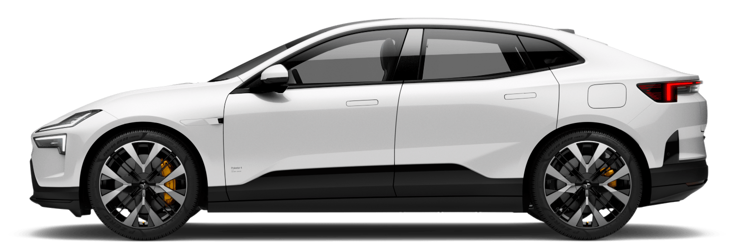
How Google Maps elevates travel in Polestars: A guide to smarter, smoother journeys
Google Maps isn’t just your navigation app – it’s your travel companion. In our Polestar vehicles, Google Maps comes alive, fully integrated into the Android Automotive OS, offering features that transform how you plan, navigate, and optimise each drive. From route planning to real-time charging updates, this is the ultimate toolkit for maximising your EV experience. Here’s a look at how Google Maps can elevate every kilometre in your Polestar.
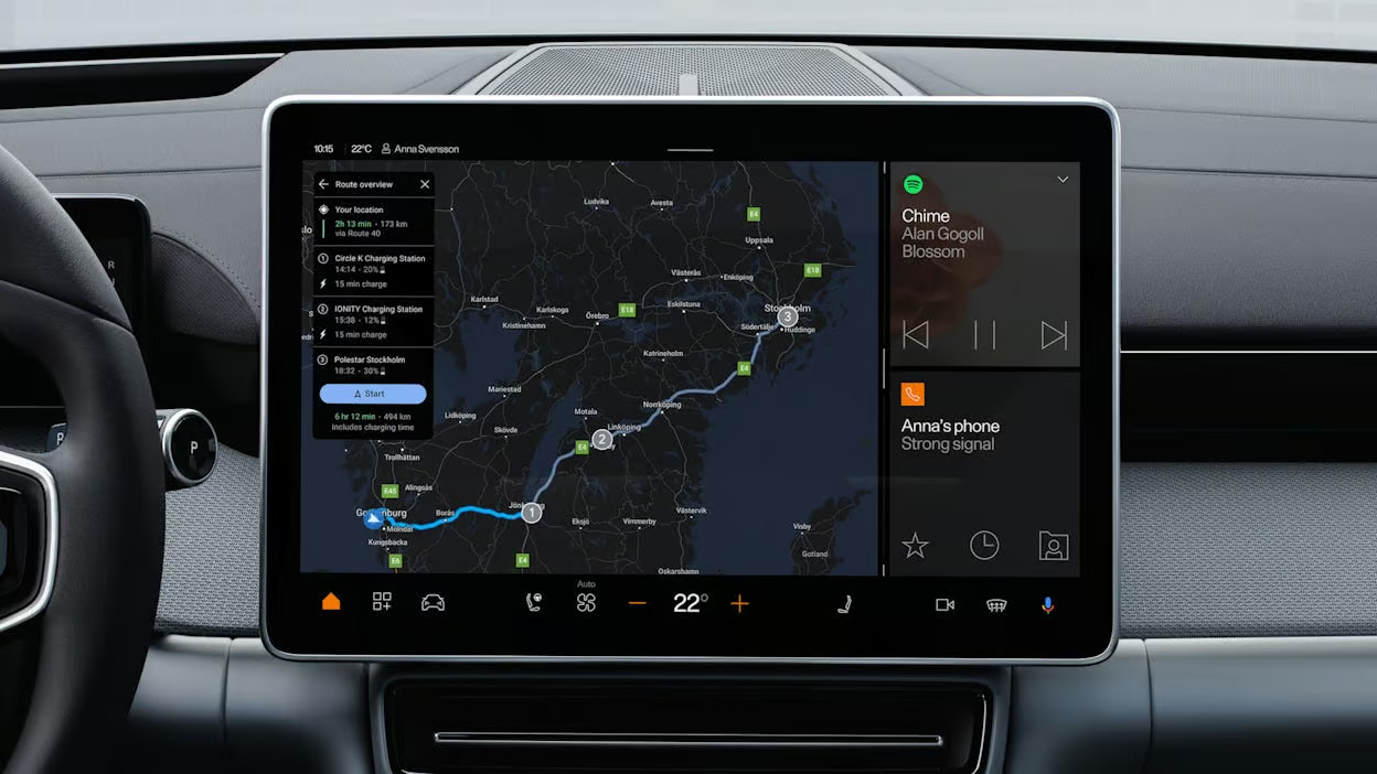
Navigation has become an essential part of how we travel, whether we're commuting to work, exploring a new city, or setting off on a road trip. Think about it: we rarely head out without checking a map, plotting a route, or at least glancing at the estimated time of arrival. Navigation has moved beyond simple directions. Now, it’s about efficiency, adaptability, and even sustainability. It’s about having the right information at the right time to make smarter, more enjoyable journeys.
In the world of electric vehicles, navigation takes on even greater significance. It’s not just a matter of getting from point A to point B; it’s about knowing where and when to charge, finding the fastest or most efficient routes, and making the entire journey feel seamless. In Polestar vehicles, Google Maps offers an integrated experience that transforms navigation into an intelligent, adaptive tool built for EV needs. Here’s how it works.
Planning your route
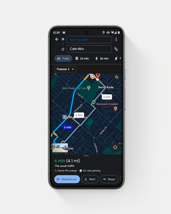
Google Maps enables comprehensive and intuitive route planning, making even complex trips easier to navigate. Imagine sitting at home or at the office, planning a trip and sending it directly to your car’s display before you even step outside.
The "send route from phone" feature does just that. It lets you start mapping your journey on your smartphone, where it’s easier to research and tweak details, then seamlessly send it to your Polestar. It’s a huge time-saver, especially for complex routes, since you don’t have to re-enter destinations when you’re ready to roll. Whether you’re headed out on a multi-stop trip or making a simple grocery run, you’re one click away from having it all set up in your car.
Adding multiple stops along the way is easy with multi-point route planning. Google Maps takes care of the details, optimising each stop to create the most efficient route possible. If you want to check out a few scenic spots en route or plan meals and charging breaks, just add each stop, and Google Maps handles the rest.
Have you ever driven through the mountains or taken a remote back road and suddenly lost service? You can save your entire journey before setting out with route download, ensuring uninterrupted navigation. This is especially handy on routes where service might be spotty, letting you keep your route and all of Google Maps’ features even when you’re offline.
Real-time charging solutions
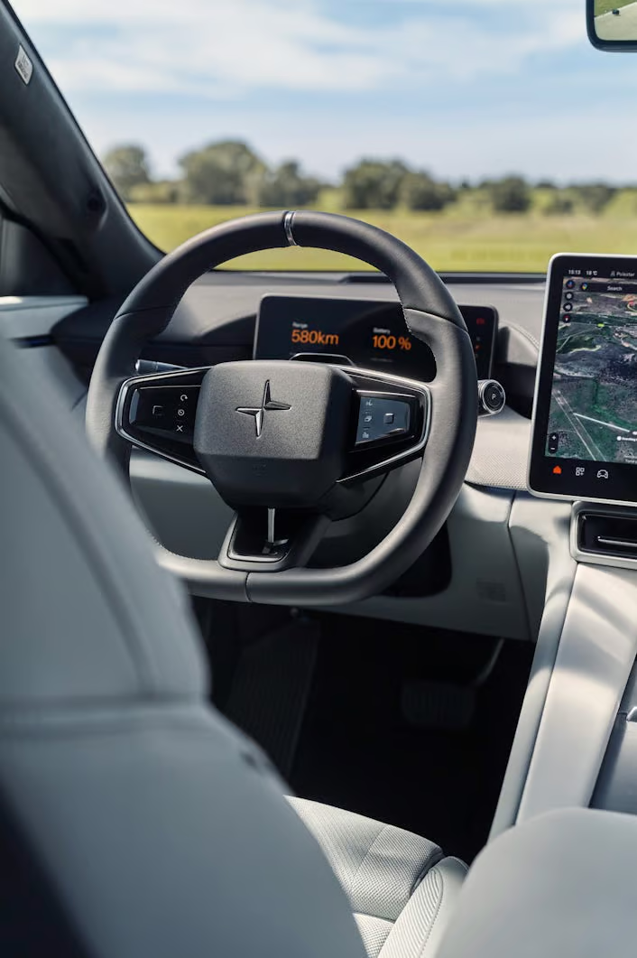
One of the main concerns for any EV driver is charging; finding the best spots, minimising wait times, and making the process as seamless as possible. Google Maps’ suite of charging tools makes it easy to find stations, filter by your needs, and see real-time availability.
Google Maps allows you to filter charging stations by criteria like speed, availability, and compatibility with your EV. For example, if you need a fast charge to make it to your destination on time, you can filter by high-speed chargers, ensuring you’re making the best stop. Additionally, in most Polestar vehicles, setting a destination to a DC fast charger activates battery pre-conditioning, which prepares the battery by bringing it to the optimal temperature, even in colder weather, to maximise charging speed upon arrival.
Setting a State of Charge (SOC) target is another invaluable feature. With this, Google Maps considers your current battery level and destination to plan charging stops and routes. You can set a SOC goal, and Google Maps will adjust navigation to help you reach that specific level by the time you arrive at your destination.
And say goodbye to long waits with live charging station availability. Google Maps provides real-time updates on the number of chargers available at each location. This lets you avoid crowded stations and choose one with available chargers, helping to keep your trip moving smoothly.
Hands-free navigation with voice commands
Voice commands are a lifesaver for keeping your focus on the road, and Google Maps in Polestars is fully integrated with Google Assistant. With a simple voice command, you can ask for directions, add a stop, or even change settings in your Polestar.
Imagine saying, “Hey Google, navigate to the nearest fast charger,” and Google Maps immediately pulls up the best options without you needing to touch a button. Voice navigation doesn’t just enhance convenience – it boosts safety by reducing the need to take your eyes off the road.
Live View is Google Maps’ augmented reality tool that overlays directions on your screen, making it especially useful in crowded city environments or complex intersections. It’s like having a virtual guide pointing out exactly where to turn. Just point your camera, and it shows directional arrows and street names right on the real-world view.
Recently, Google Maps added a feature that allows users to report real-time road conditions such as accidents, congestion, road work, and other incidents. This community-driven tool helps other drivers stay informed and navigate more efficiently, with Maps adjusting routes as new reports come in to provide the clearest path ahead.

Advanced route customisation
Eco-conscious drivers will appreciate eco-friendly route options. Google Maps can suggest paths that use less energy based on speed, distance, and terrain. This feature helps extend your range and reduce energy usage, perfect for maximising the benefits of your Polestar’s battery.
By planning multiple stops and optimising for charging along the way, you can ensure that your battery meets the needs of your journey. This feature is particularly helpful for road trips, giving you a clear picture of where and when to stop for charging while staying on track with your schedule.
If you’re worried about how much time you’ll need to factor in for charging, Google Maps provides time estimations for each stop, including the approximate time needed to charge. This allows you to budget time more accurately, giving you a clear view of how long the entire journey will take.
Google Maps in our vehicles is more than just a GPS; it’s a fully integrated travel system built around the unique needs of EV driving. With features like charging filters, SOC goals, and real-time station availability, Polestar drivers can rely on Google Maps to make EV travel smoother and more efficient. Additionally, the constant updates from Google ensure that drivers have access to the latest navigation and charging information, giving them peace of mind for every drive.
Beyond its in-car features, Google Maps also lets users contribute to the EV community by adding charging stations, photos, and reviews. By logging in with a Google account, drivers can mark new charging stations, add helpful images, and provide up-to-date information. This crowdsourced approach keeps information current and lets drivers actively support each other, avoiding frustrations over unlisted stations. It's a great way for drivers to do their part and make EV travel more reliable for everyone.
